After the U.S. Census Bureau released its most recent decennial population data in 2020, The Oaklandside reported about the big demographic trends playing out in our city: a growing overall population that was outpacing the supply of new housing, even while the number of Black residents in Oakland continued a decades-long decline.

The Oaklandside is partnering with Oakland North and Oakland Lowdown to examine what’s working well and what isn’t for people in our urban center. Read more.
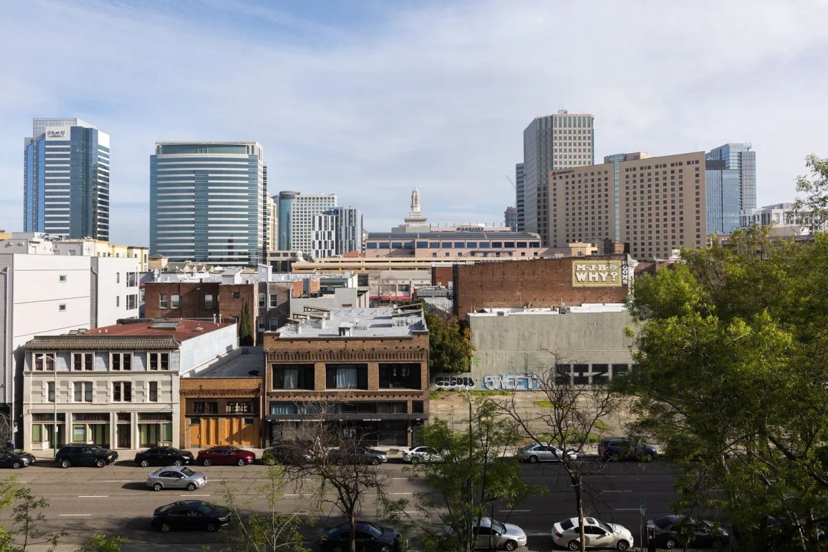
Illustration by Bea Hayward
Those 2020 decennial census numbers, which show Oakland’s population had ballooned from roughly 390,000 to 440,000 residents since 2010, stand in contrast to the previous decade when the city’s total population decreased by more than 8,000. But what didn’t change across both decades were the population trajectories of the city’s racial groups:
While the number of people in Oakland self-identifying as white, Asian, Hispanic or Latino, American Indian and Alaska Native, and mixed race (all of which are racial categories listed by the U.S. Census Bureau) grew or remained relatively steady between 2000 and 2020, those identifying as Black or African American dropped sharply — by 25% between 2000 and 2010, and 14% between 2010 and 2020.
With downtown being a focus for housing development in the city in recent years, we wanted to know how these citywide population trends have been playing out there. So we collected population data for downtown, sorted it by race, and also looked at housing stats from the last three decennial census counts in 2000, 2010, and 2020 — drilling down to the tract level, to understand how downtown’s population has changed over the past 20 years, neighborhood by neighborhood.
About the interactive map
We decided to focus on nine census tracts, which together, encompass most of downtown Oakland. Here are the tract numbers, followed by names that help describe their general locations downtown: 4028.01 (Uptown West), 4028.02 (San Pablo Gateway), 4029 (Uptown East/Financial District), 4030 (Chinatown), 4031 (City Center), 4034.02 (Lakeside) and 4033.01 (Madison Square Park), 4033.02 (Laney/Jack London East), and 9832 (Jack London).
To visualize the data, we connected with local software developer Darrell Owens (whose fascinating census mapping work we wrote about in 2021) who helped us tabulate and map the population, race, and housing statistics for the nine downtown census tracts in an interactive map. Owens sourced the census data from the National Historical Geographic Information System (NHGIS), a nonprofit that supplies researchers and organizations with free data files for census applications. The county-operated Glenn Dyer Detention Facility, which closed in 2019 and is highlighted in red on the map, was excluded from our population count for the City Center census tract.
You can use the drop-down functions in the upper-right-hand corner of the map to toggle between population numbers (sortable by race) or housing type. Scroll over the map with your cursor or a finger (if viewed on a mobile device) to see the selected data. The tool provides raw numbers and the percentage change from 2000 to 2020 for each selected category.
Downtown Oakland population and housing figures, 2000-2020
What does the mapped data tell us about downtown Oakland?
The numbers show that downtown’s overall population increased sharply between 2000 and 2020: The combined population of the nine downtown census tracts rose roughly 65%, from 11,276 to 18,577 people. The areas with the largest increases were those encompassing Jack London Square and the Jack London East/Laney area, which grew by 771 and 2,446 residents, respectively. The western part of Uptown followed, with an increase of over 2,000 people.
But population growth happened far slower in other parts of downtown. Lakeside and Chinatown experienced the smallest gains, with Lakeside growing by a 195 people (or 14.7%) and Chinatown increasing by 273 residents (or 10%).
The changing racial makeup of downtown both mirrors and bucks the broader citywide demographic shifts of recent decades: While downtown’s Asian, Latino, and white populations increased the most, the number of Black residents downtown also grew—and by significant numbers in the tracts representing the western part of Uptown, Jack London Square, JLS East/Laney, and the adjacent Madison Square Park area. Altogether, the number of Black residents in these parts of downtown grew by 1,304 over the 20 years.
Elsewhere downtown—in the eastern part of Uptown, San Pablo, and Lakeside census tracts—the Black population decreased, albeit by a smaller number of 337. The area with the largest decrease was San Pablo, which lost 174 Black residents, or roughly 24% of that neighborhood’s Black population.
Vasudha Kumhar, a researcher at Stanford University’s Changing Cities Research Lab, which has been studying residential instability across all of Oakland, said that despite the city’s higher overall population numbers, “there’s been a lot of outmigration, out of Oakland, especially among folks from majority Black neighborhoods, multi-ethnic neighborhoods, as well as people of lower socioeconomic status, over the last 20 years.”
According to the lab’s findings, West Oakland and parts of downtown and North Oakland have experienced the highest levels of instability, and those who’ve left neighborhoods are more likely to have lower incomes. According to the lab, most of those who’ve left the city have relocated to nearby cities or deeper parts of the East Bay.
Oakland’s epicenter for new housing
Downtown’s overall population growth was accompanied—and even outpaced—by an increase in housing there. Over the same 20-year period, the number of dwelling units downtown increased 77%, from 6,140 to 10,863. All of the areas downtown that we measured saw increases in housing, but the tract with the biggest net gain in its total number of units was the JLS East/Laney area, with 1,507 (a 428% increase) followed by Uptown West with 899 (an increase of 165%).
The large amount of new housing constructed downtown makes the area unique within the city, where overall population growth has far outpaced the number of new housing units being built.
The population data we mapped for downtown includes individuals who were unhoused at the time of the decennial census count. In 2020, federal census takers canvassed Oakland neighborhoods and counted people they encountered living outdoors, in emergency or transitional shelters, or receiving services from soup kitchens and mobile assistance sites. But those numbers are inexact and local service providers who were involved say the number of unhoused people was likely undercounted.
What’s next for downtown Oakland?
While the available decennial census data helps identify longer trends, it doesn’t capture how downtown Oakland has changed over the past several years—a short but significant stretch, considering the pandemic’s social and economic impact.
“The data is unclear because it’s not totally available,” said Tim Thomas, director of research at the UC Berkeley Urban Displacement Project. “But what we believe happened is that low-income households did not migrate much where [eviction moratoriums] and rental assistance allowed deeply precarious households to stay in place.”
Those who left downtown and other parts of Oakland during the pandemic, Thomas added, were more likely to be middle and higher-income individuals “because their job was more remote at the time, and there wasn’t much reason to stay in an area unless they had ties.” Whether some of those people return to Oakland, he said, is anyone’s guess.
Nobody can say for certain what the future holds for downtown. But the likeliest scenarios involve more housing and, by extension, more residents.
If adopted and implemented, the city’s Downtown Specific Plan, which has been in the works for years, would establish guidelines for housing and commercial developments downtown for the next 20 years—including affordable housing and community benefits projects—that could lead to new constructions and amenities to attract thousands of additional residents.
The city announced in late March that the Oakland City Council will vote in spring 2024 on whether to adopt the final draft of the massive plan for downtown.