
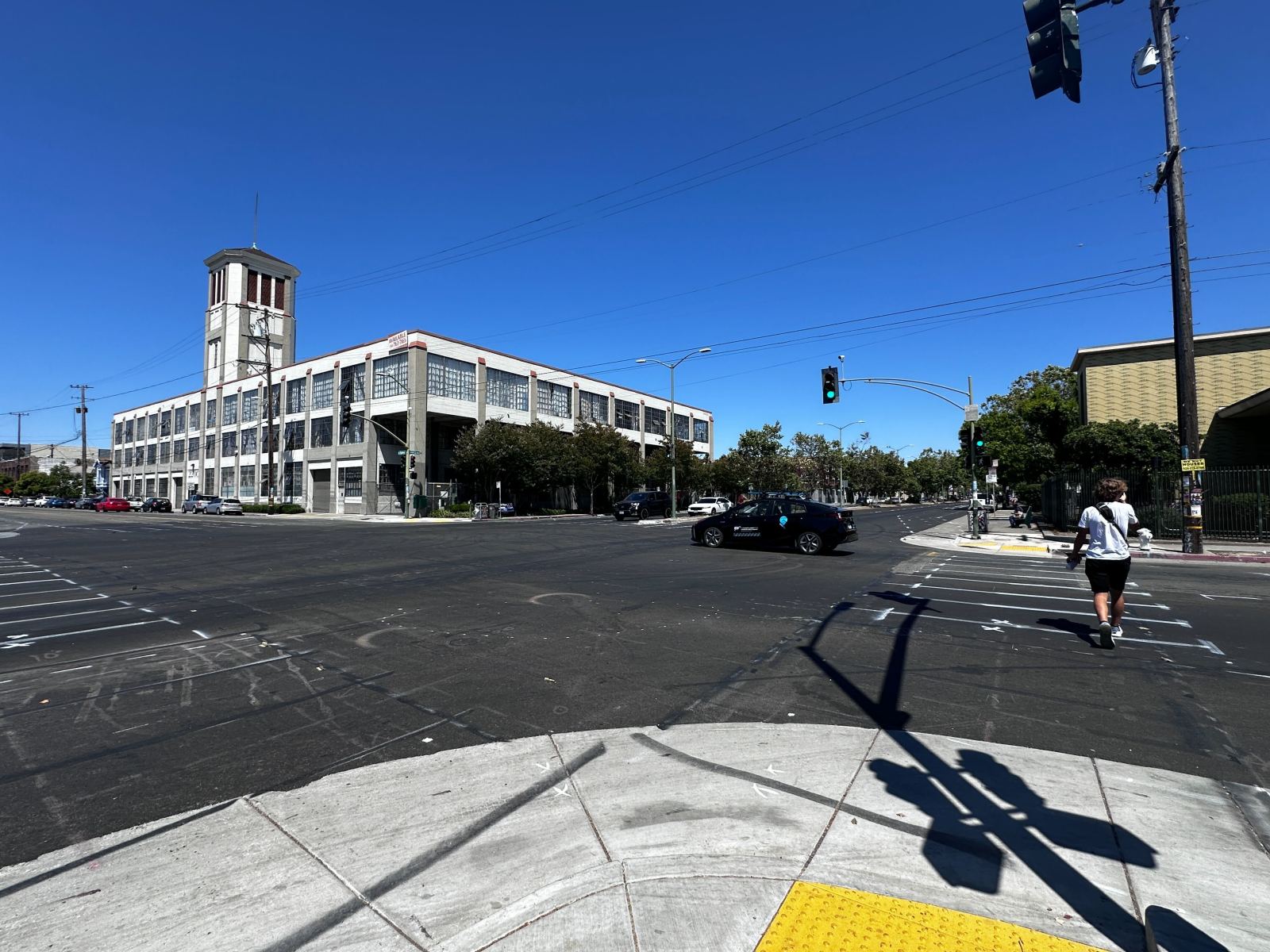
Oakland has some of the most dangerous roads in California. From the quiet hillsides of East Oakland to the flatlands near the lake, all the way down to the industrial and residential shorelines of West Oakland and Brooklyn Basin, dozens of people are seriously injured every year in vehicle collisions throughout the city.
But some roads are more dangerous than others. These are mostly arterial roads people use to crisscross the Town, to get to work, and to go to school. We all know their names: International Boulevard, Broadway, Foothill Boulevard, Grand Avenue. And we’ve all seen the makeshift memorials set up along these roads whenever someone is killed by a driver.
Since the creation of the Transportation Department in 2016, Oakland has tried to keep track of its deadliest roads and intersections so it can focus on fixing them. After decades of poor infrastructure investment, it’s been a tough job.
Some headway has been made, but many roads and intersections are still dangerous. Their biggest flaw is that they are designed for cars—not people navigating the streets on foot or bicycle. They have little or no car-slowing infrastructure, and pedestrian crosswalks are rarely emphasized. Bike lanes are few and far between. In so much of Oakland, machines maintain their primacy on the road, and it’s costing people their health and safety, and sometimes their lives.
This month, after a six-year wait, Oakland’s Transportation Department finally updated the map it uses to highlight where collisions most often occur. Known as the “high-injury network corridor” map, it reveals the city’s 20 intersections where the highest numbers of collisions happened that led to serious injuries or deaths.
These deadly and dangerous intersections are listed below and we’ve included data on injuries and fatalities between 2017 and 2023 from the Statewide Integrated Traffic Records System database.
First, a couple of caveats: These are the intersections the city says are the most dangerous today. There have been deadlier intersections over the past seven years, but they’re not included on the list—which will be used to apply for state and federal funds—because OakDOT has already taken steps to make them safer.
For example, 55th Street and Shattuck Avenue saw a collision that killed cyclist Jonathan Waters in May 2022, when he was making a left turn onto 55th. Later that year, the city added center headlines and a bike-holding area to help cyclists make turns.
Additionally, some data discrepancies should be noted. When announcing the new list, OakDOT said it used SWITRS data between 2017 and 2021 and some of the most deadly collisions in 2022 and 2023. They did not use the full SWITRS database for the last two years because it’s officially “provisional and subject to change,” based on investigations, according to the state. However, that data is usually correct, and we wanted to provide a full, up-to-date account of the dangers posed by car traffic at these intersections.
Finally, keep in mind that the actual number of injuries at these intersections is almost certainly higher than what shows up in the data. Researchers have found that low-income immigrant communities tend to under-report injuries that happen in their neighborhoods. That’s usually due to a lack of trust in the authorities, particularly the police.
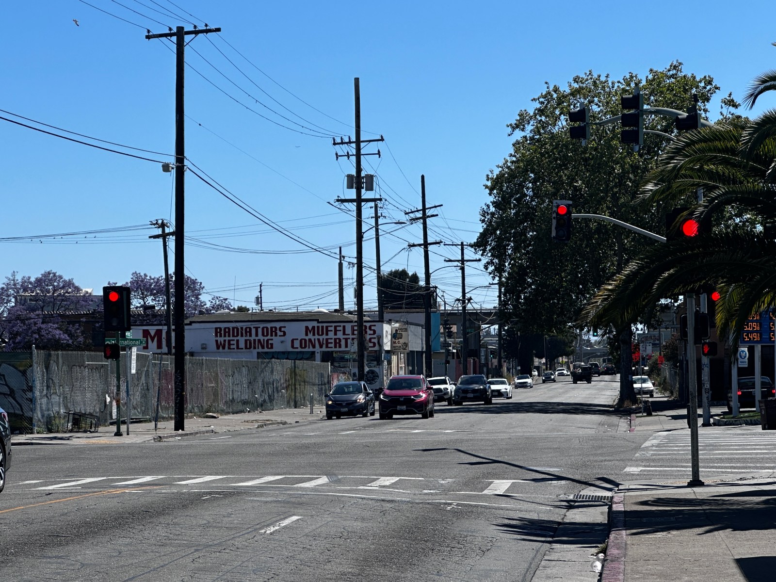
102nd Avenue and International Boulevard

Injuries: 17
This East Oakland location has become known for high-speed driving, a general lack of traffic violation enforcement, and collisions that lead to serious injuries.
Like other parts of International Boulevard, it includes dense residential neighborhoods that are tightly integrated with retail and other public services, increasing the risk posed by bad drivers. The intersection serves customers of a tire shop, a Catholic parish, and a couple of gas stations.

The AC Transit Tempo bus transit project added a concrete median to International Avenue at this intersection in 2020, allowing pedestrians to stop halfway on the road when they cross. In theory, this has made crossing safer. However, residents have told us the increase in speeding on the arterial road’s dedicated bus lane, to bypass traffic, has created more peril for people on foot.
And while there is often no direct correlation between traffic violence and gun violence, sometimes the same locations see both. Last week, two teen boys were shot near this intersection, with one dying. Two years ago, a shooting at the gas station also killed one man.
This past Friday, an adult pedestrian named Tom was hit and killed at this intersection as he was crossing International Avenue. The suspect, who was driving a BMW 535i, was driving in the bus lane when he hit the pedestrian.
According to Bryan Culbertson, a volunteer for Traffic Violence Rapid Response, the local safe streets advocacy organization, Tom worked at the Blue Ribbon Tire Shop at the intersection. Staff at the tire shop are planning a community memorial soon in his honor.
7th Street and Cedar Street

When no major industrial trucks are traveling on it, this intersection, near a small bridge above 7th Street, is lightly traveled. This can lead some people to try dangerous stunts in their cars which can cause crashes. Photo: Google Earth
Fatalities: 1
This intersection has the fewest number of crashes that led to deaths on this list over the last seven years, with only one. But that crash led to a person dying. On July 11, 2019, at 7:39 pm, a driver hit a “fixed object” at an “unsafe speed” and died on impact, according to state data.
This is an industrial area near the I-880 freeway that has few proper traffic signs and is usually abandoned, which sometimes leads to drivers trying their luck by speeding through the streets. Not far from this location on Frontage Road, a resident died in 2022 when a driver ran into the back of her car. Her baby was in the car but survived the collision.
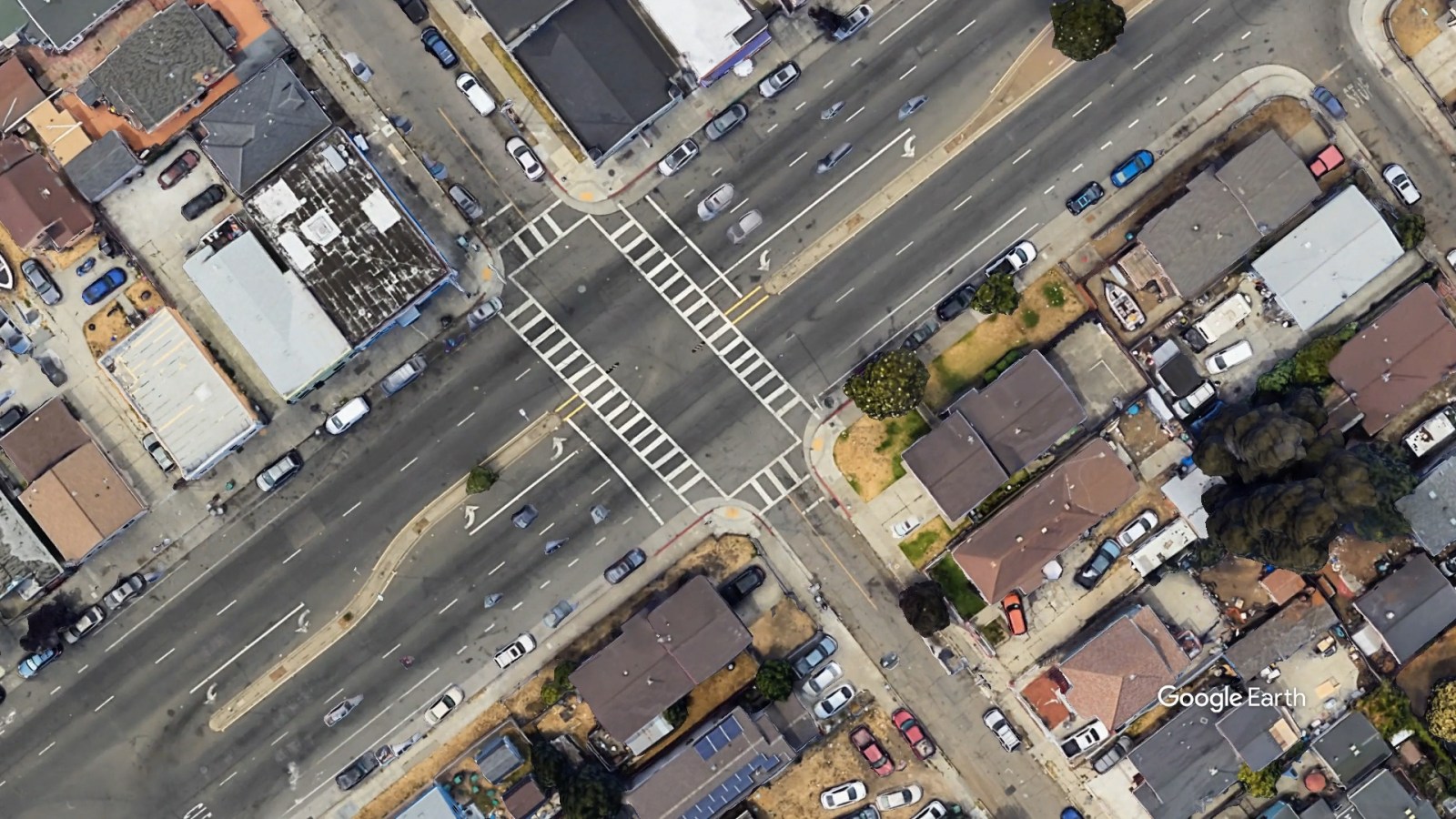
7th Street and Union Street
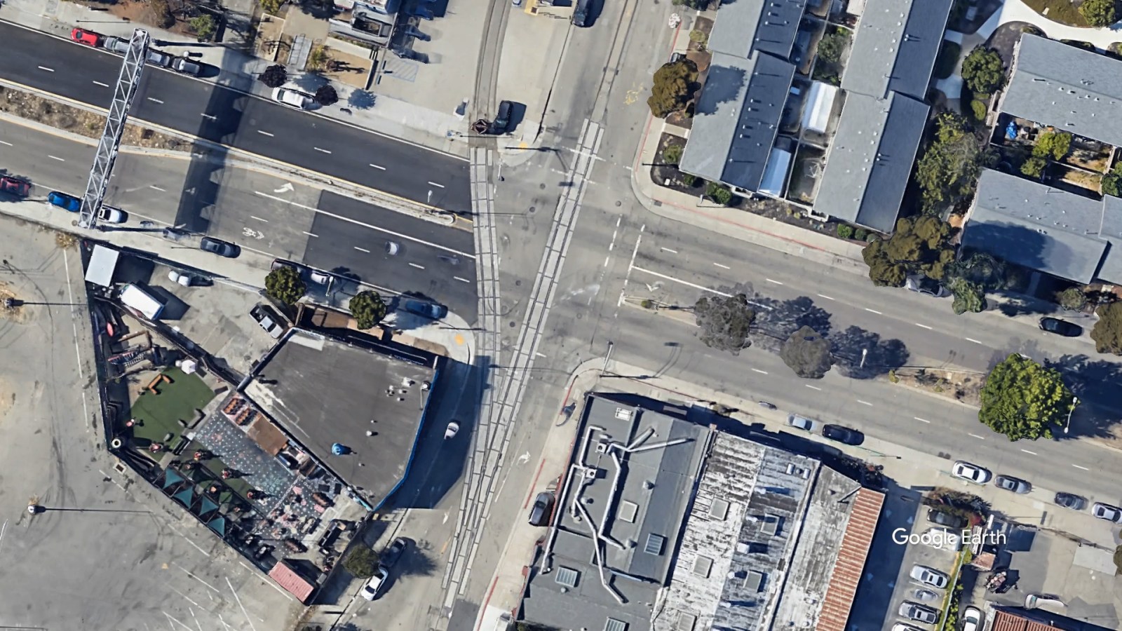
To travel to San Francisco, West Oakland and downtown residents sometimes cut through 7th Street and turn left onto Union Street to avoid rush-hour traffic before getting onto the I-880. Photo: Google Earth
Injuries: 28
This busy intersection, in the same neighborhood as the West Oakland BART station, the Crucible industrial arts organization, and a dance studio, is served by thousands of people every day. It is also the entry point to the 880 freeway onramp into the Bay Bridge, increasing opportunities for collisions during rush hour between drivers, pedestrians, and cyclists. Factor in the old train tracks, the poorly painted crosswalks, and a concrete median that fails to extend into that crosswalk to protect pedestrians, and you have a tragedy waiting to happen.
A local dancer who has taken a dozen classes at the Full Out studio told us the intersection seems “a little dicey.” “But that could be said about so many streets in Oaktown!” she said.
Bancroft Avenue and Seminary Avenue
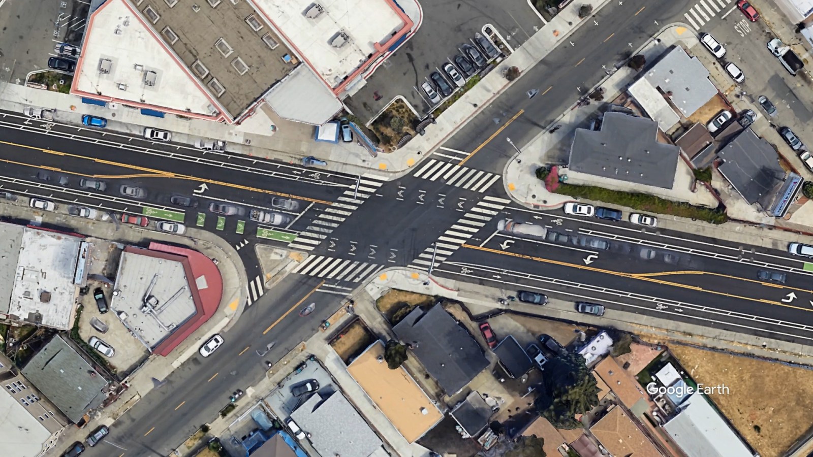
The city is in the process of building a $35 million project to improve Bancroft Avenue, which includes this intersection. The city plans to add a median wide enough so that cyclists and pedestrians can pause there while halfway across the street. Photo: Google Earth
Injuries: 23
An important neighborhood location next to one of East Oakland’s most prominent retail shopping areas known as Seminary Point, this intersection has recently been updated with paved roads and painted crosswalks and is surrounded by new buffered bike lanes on Bancroft Avenue. But 14 people were also injured here over the last seven years.
The Oakland Department of Transportation is in the process of adding car-slowing infrastructure on Seminary Avenue because it is one of the city’s most dangerous corridors, with collisions up and down the street. Last year, 72-year-old Mara Delaney was hit a few blocks up the street from this location as she was crossing the road to catch her bus. She was found on the school’s sidewalk embankment.
Bancroft Avenue and 73rd Avenue
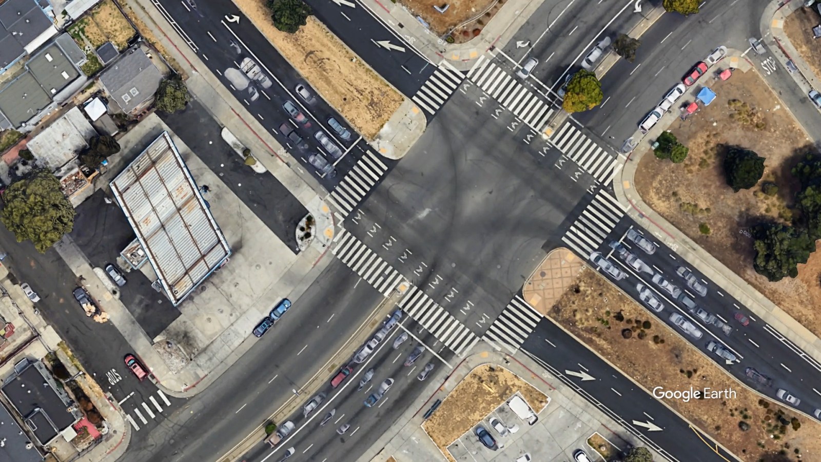
Markham Elementary is only one block away from this intersection, meaning that hundreds of children have to navigate this perilous crossing when they walk to and from school. Photo: Google Earth
Injuries: 56
This is a very large intersection that takes more than a few seconds to cross on foot, even with the addition of medians on both streets. Wide streets, according to decades of research by traffic engineers, are usually more dangerous because they induce faster driving and place pedestrians more at risk simply because it takes people longer to get across the road.
Broadside, head-on, and rear-end collisions all occurred at this intersection over the last seven years. In total, 40 people were injured, including three pedestrians and three cyclists. In one of the collisions, at 9:20 p.m. on July 26 last year, a driver speeding inside a station wagon drove directly into a pedestrian at the crosswalk, causing the latter severe injuries.
D Street and 98th Avenue
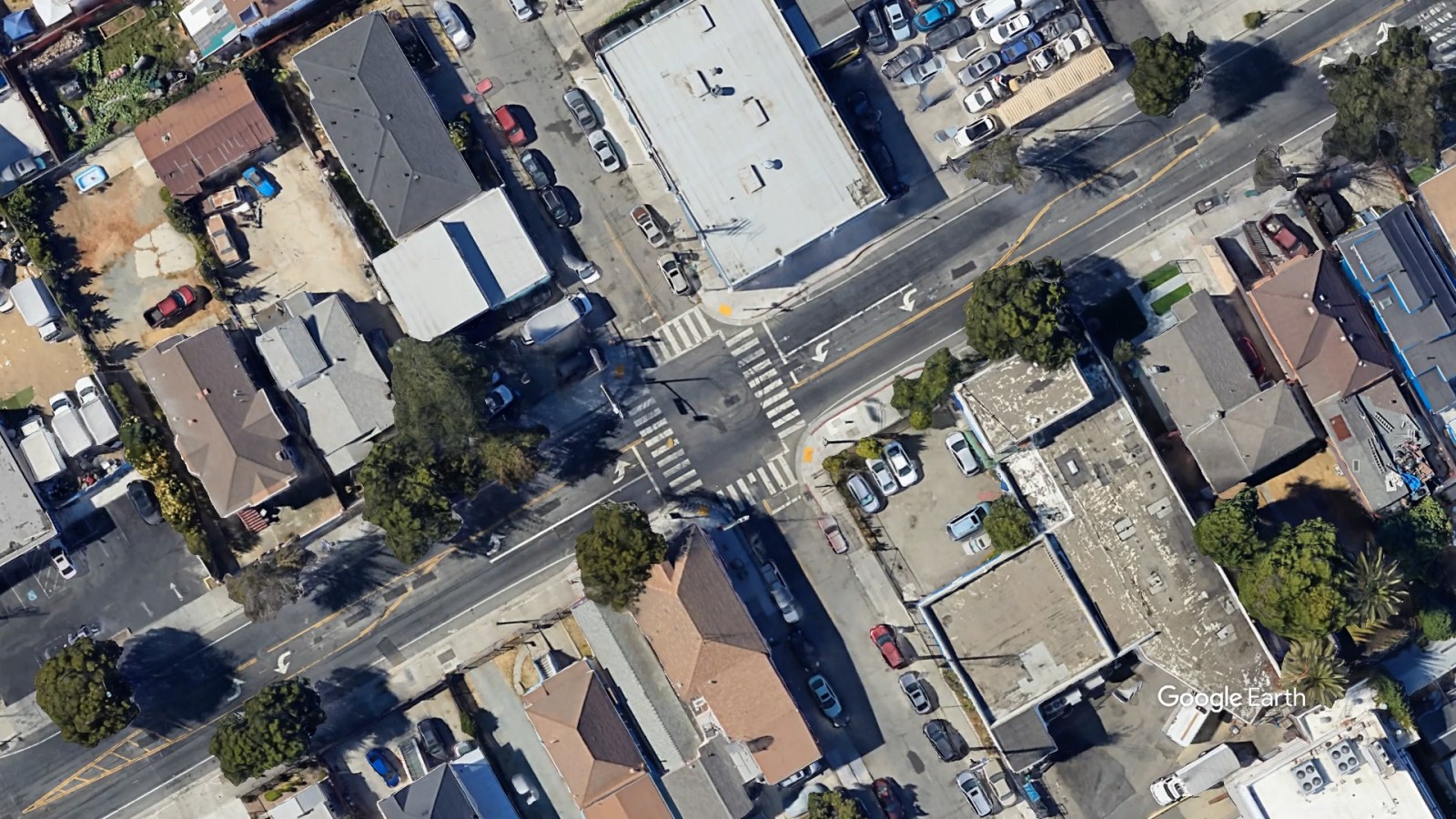
98th Avenue is a major arterial road in East Oakland that has seen several deadly collisions, including a pedestrian who was hit on San Leandro Street, a few blocks from this intersection where there have been over two dozen injuries. Photo: Google Earth
Injuries: 25
98th Avenue is one of the major north-to-south arterial roads in East Oakland, leading directly from the hills through the flatlands to the I-880 freeway. So it’s not surprising to find it among the most dangerous corridors simply based on high car traffic. But there’s no immediately identifiable reason why the spot where it crosses D Street is the most dangerous of its intersections, especially as there are crossing lights on each side of the street. Still, this area of Oakland is dense population-wise and splits through a residential neighborhood with nearby businesses, including a meat wholesaler, a popular bodega, and Elmhurst Park.
Grizzly Peak Boulevard and Claremont Avenue
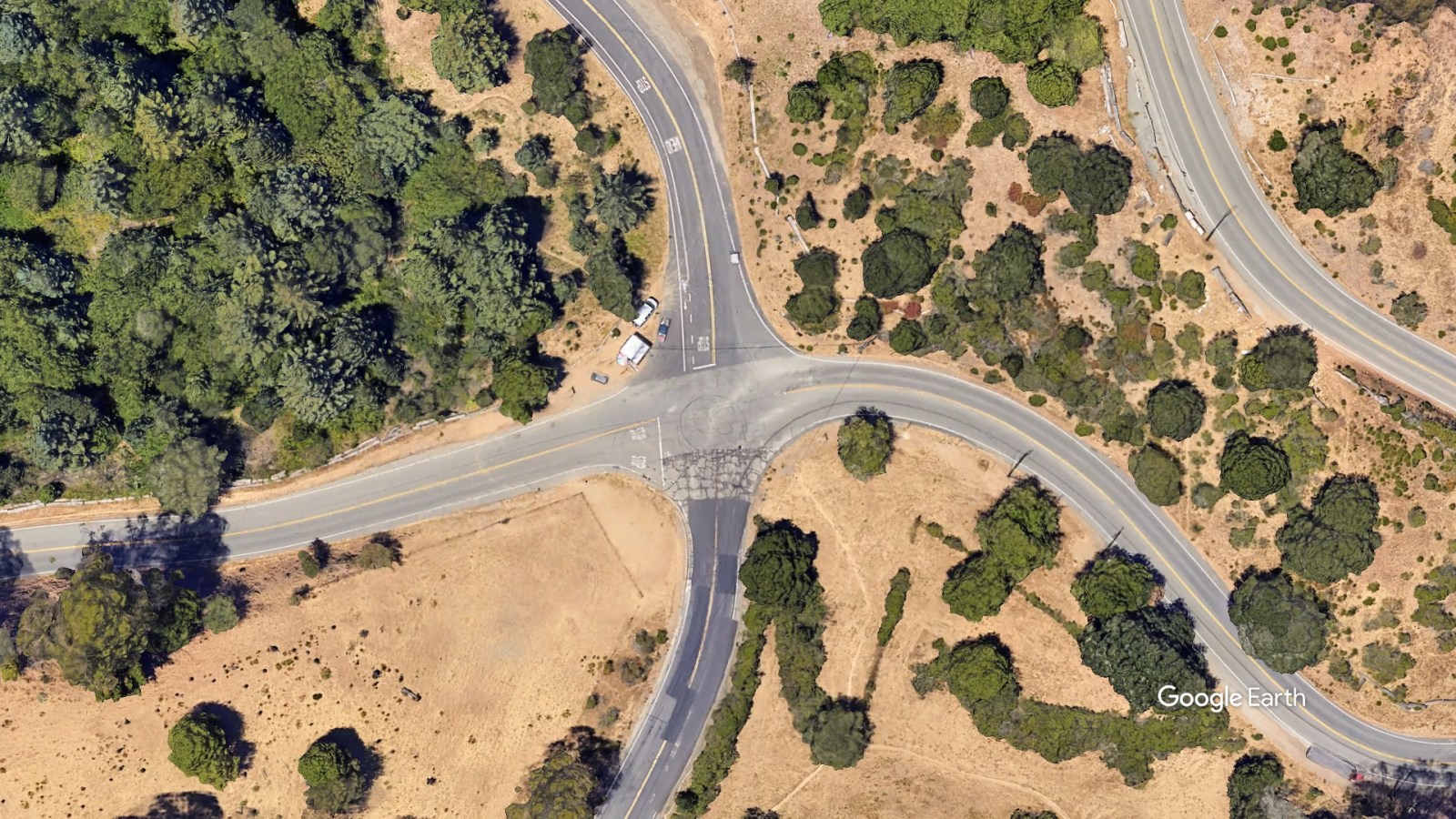
Some of the costliest lawsuits against Oakland in recent years have resulted from cyclists who have hit terrible potholes on this popular and scenic road, or from collisions with drivers. Photo: Google Earth
Injuries: 12
Up in the mountains is the city’s seemingly most random dangerous intersection. More than a decade ago, a cyclist named Allan Lee was killed here, in the middle of a windy road where many cars and cyclists both tend to move fast. Lee crashed into a two-inch pothole, throwing him onto the other lane, where he was hit by a car. His family sued Oakland for wrongful death, claiming the city failed to fix the road after other people had made official road pavement requests. It’s not known whether the city settled with the family or not.
In May 2020, a driver plunged off the cliff and died in the 4300 block of Grizzly Peak Boulevard, according to news reports at the time. That death was not present in the state data The Oaklandside reviewed.
Hamilton Street and Hegenberger Road

Injuries: 58
Fatalities: 3
On October 3, 2022, near 10 p.m., a speeding driver hit Oakland resident Takiyah Burroughs as she was crossing Hamilton Street. The Oaklandside spoke with Burroughs’ mother Sheree Brown at the time. She told us Takiyah got stuck under the car and was dragged along the road, breaking apart her body. Brown has since been exploring a lawsuit against the city on the grounds that the intersection is far too dangerous and that there’s not enough car-slowing infrastructure including proper crosswalks.
Things evidently haven’t gotten much safer. Diana Govea, a resident on nearby 73rd Avenue, told The Oaklandside this week that she sees two to three crashes a day at the intersection.
Francisco Velasco, who lived at a house at a corner of the intersection for about eight years, told us in his native Spanish that new traffic lights at the intersections have made the situation there a “bit better” but that it was still “crazy.”
“It’s practically a freeway there,” he said.
High Street and Foothill Boulevard
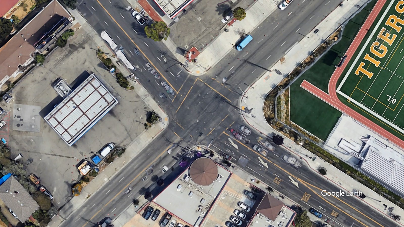
Injuries: 51
High and Foothill, next to Fremont High School, had among the highest number of collisions of any school-adjacent intersection in Oakland.
Nydia Baez, the school’s principal, said that there have been more incidents here since the pandemic–five or six a year during school hours, by her estimate. One student was hit in the 2021-22 school year but she didn’t suffer serious consequences. Baez said drivers constantly run the red light at the intersection; last year, one driver struck a traffic light, bringing it down.
Baez said the school has been working with the local neighborhood council to lobby the city to improve road conditions, with some success–witness the recent addition of speed bumps to some parts of High Street north of the school.
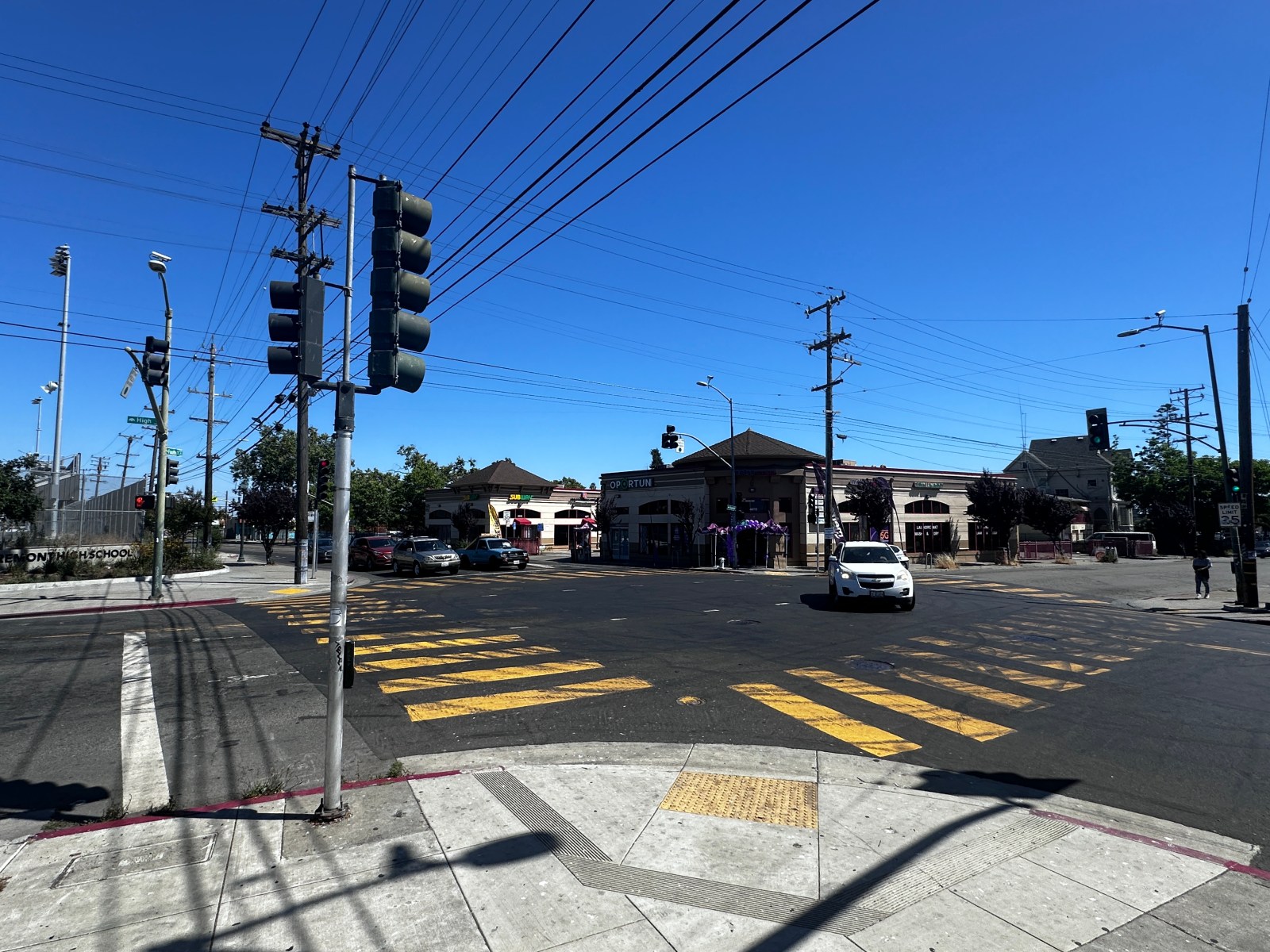
She said she’s going to continue to remind students to be careful around the intersection, though.
“They definitely communicate with us about dangers, as I think they feel safe to report it,” she said. “But I don’t know if it necessarily deters them from walking or biking to school.”
International Boulevard and High Street
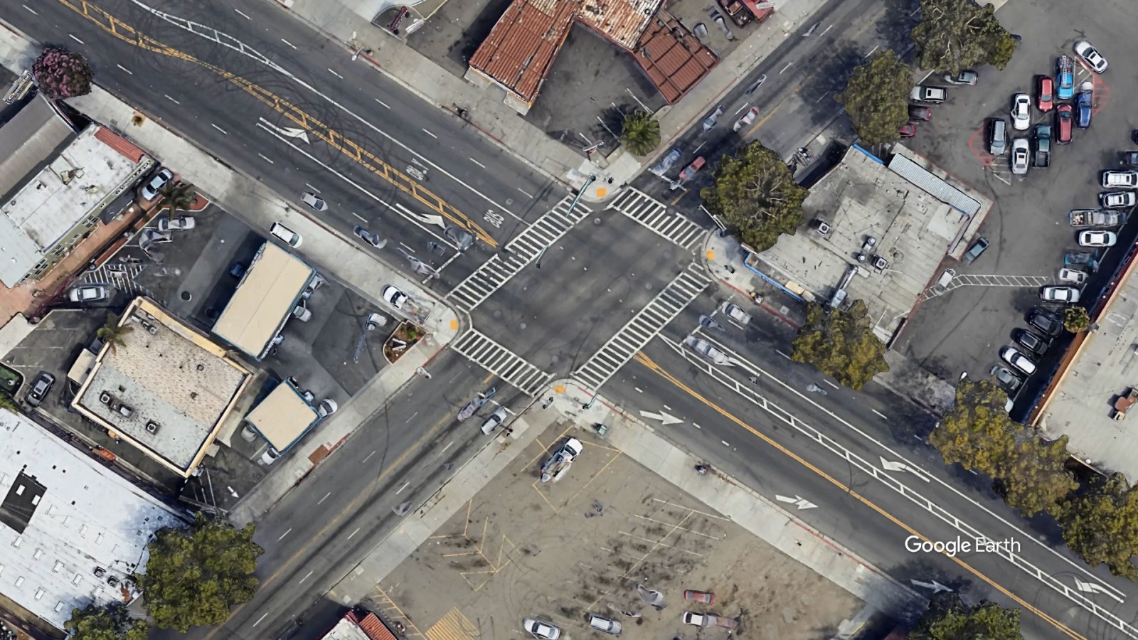
Injuries: 57
Fatality: 1
The person who died was an Oakland resident named Luciano Carmona-Garcia. This past October, he was trapped between two parked cars after a man speeding in an SUV collided with them. Carmona-Garcia’s leg was severed in the collision.
No surprise to find a very busy intersection of two of the city’s busiest streets on this list. Technically, the intersection includes standard safe-road infrastructure, including functioning traffic lights on each street and wide crosswalks with relatively fresh paint jobs. But it lacks a lot of the more modern infrastructure that can prevent incidents, including bulb-outs at the corners to make crossing shorter, center hardlines to force drivers to stay in their lane when turning or raised crosswalks that act like speed bumps.
International Boulevard and 64th Avenue

Injuries: 15
Fatalities: 1
This spot has been a problem for at least three decades. Oakland’s early 2000s Pedestrian Master Plan, drawn up many years before the Transportation Department was created, called it the most dangerous intersection for pedestrians, with 11 collisions between 1996 and 2000. Back then, there was only one, unstriped crosswalk that was hard to see, and the offset, very non-right-angle nature of the intersection invited pedestrians to jaywalk.
For years, the traffic light situation here was also extremely poor with only corner-side traffic signs placed at the intersections. Research has found that corner traffic lights are not as effective at making people obey traffic laws as lights that are in front and above the roadway. Those types of lights, with the big overhead arms, finally went in in 2017.
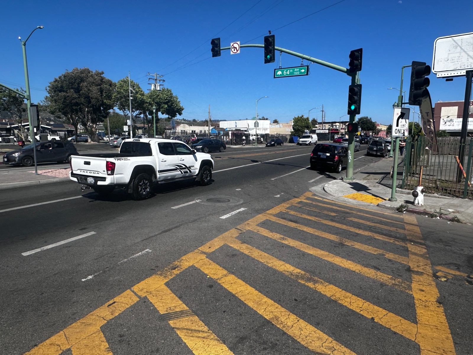
During construction for the AC Transit Tempo bus line, the city sought to improve conditions by moving the crosswalk to the front of the McDonald’s restaurant, to help people walk to the median bus station. However, the offset design still leads to people illegally crossing the street.
International Boulevard and 73rd Avenue

Injuries: 89
Both roads are major arterial-wide streets with multiple lanes that drivers frequently use as mini-freeways to get around East Oakland. The median on 73rd is narrow and doesn’t serve as a functional stop for pedestrians when crossing it, making it much more dangerous.
Manuel Espinoza, who has been the owner of the Daily Fresh Roses shop at this location for 16 years, said he’s seen sideshows, red-light running, speeding, and dangerous lane bypassing from drivers throughout that time. He told us he specifically tries to avoid the intersection when making flower deliveries–it’s just too unpredictably chaotic.
One time a few years ago, Espinoza said, he parked his truck on one of the corners when a crash occurred on the other corner opposite of him. The car spun around inside the intersection, ending up a few inches away while he was inside the truck.
“He was coming right at me and I thought, ‘This is it’–he was going to hit me. Thank God nothing happened,” he said in Spanish.
Espinoza said he’s seen a rise in speeding and serious dangerous driving since AC Transit’s Tempo rapid-transit bus lanes were added. As we’ve previously reported, many drivers speed on the dedicated bus lane to avoid traffic and push through the intersection, imperiling the many people waiting for the bus in the middle of the road.
He’s hoping the city adds infrastructure there to make things safer.
“People want to use the lane to speed up. It’s just a very dangerous place,” he said.
International Boulevard and 80th Avenue

Injuries: 38
Fatalities: 2
Those injury numbers should likely be higher. This area of East Oakland is frequented by unhoused people and immigrant residents who don’t want to communicate with the authorities, even declining to report to hospitals after injuries.
One collision at this location occurred when police officer Victor Adrian Garcia illegally pursued a suspect on International Boulevard on October 10, 2022, and lost control of his car, crashing with another vehicle near the intersection. He was later fired for lying in his report about the incident.
This intersection is also a popular area for sideshows, some of which have bumped up into the sidewalk near the various tire shops and the popular liquor store.
Kennedy Street and East 7th Street

Injuries: 42
There have been 42 injuries at this East Oakland intersection located near the Alameda–Oakland Park Street Bridge. It’s a heavy industry location, with a hazardous waste facility on one corner and a cement maker on the other. It’s also devoid of modern safe-pedestrian or -bike infrastructure, with a minimally designed crosswalk on 7th and a concrete median strip on Kennedy Street splitting up the road that is too thin to use as a refuge while crossing. In recent years, the city did add green striping for bikes on Kennedy for better bike- and car-lane delineation. But a slip lane, which allows cars to make right turns faster, is still present, making it a more imposing area for anyone walking around.
North-bound Broadway off-ramp at Jackson Street and 6th Street

Injuries: 27
This would be a very dangerous location just from the simple fact that it receives a lot of the car traffic from I-880 into the downtown and Chinatown area. Most cars, it’s been found, tend to remain in freeway mode even after they get off the freeway, putting everyone in danger, including other drivers. But the intersection is also not very well designed. It’s poorly lit at night, traffic light signs are on the corner and not in front of drivers, and there is no median infrastructure to prevent cars from colliding with each other from opposite directions.
Out of 27 total injuries that occurred at this intersection over seven years, four were serious. One of them involved the driver failing to yield the right-of-way to a pedestrian at the crosswalk. The extent of the injuries or whether they’ve improved is not known.
Perkins Street and Grand Avenue
Injuries: 21
Grand Avenue is a key corridor between Central, East, and North Oakland and is packed with restaurants, shops, and services. It’s also one of the principal roads people use to get to Lake Merritt, the city’s main recreational hub. With Perkins Street right in the middle of the corridor, functioning as a major entry into the lake from neighborhoods like Adams Point, it makes sense that collisions are high here, especially with people speeding to get from one place to another. The state data said 25 people were injured at this intersection during the time specified, with nine people suffering serious injuries.
This is also the location where an Oakland Fire engine truck lost control and struck a building on the corner and where a motorcyclist got hurt in a collision during a sideshow.
An Oakland resident named Rechee, who did not want to provide his last name due to privacy concerns, told us he walks on this intersection every day and that it’s clear it’s dangerous. He told us of a situation recently when, on his way to Clio’s Bookstore, dirt bike riders ran the red light while he was crossing Grand Avenue, surrounding him. Even more surprising at that moment was that an SUV decided to follow suit, zooming through the red and nearly crashing into him.
“It was scary. It was also a busy day, and traffic is backed up, so [they bypass],” he said.
Rechee said he tells people who use that intersection and other ones on Grand Avenue to triple-check when crossing. He said that he has seen cyclists not stop for pedestrians at that light, either.
In the last few years, the transportation department has debated how to improve road conditions to make Grand Avenue and its various intersections safer while also meeting most stakeholders’ conditions. The road currently has few or no medians to shorten pedestrian crossing, no road diet to avoid car bypasses, and no dedicated protected bike lane to separate cyclists from car traffic. All those are options under consideration, though there is expected pushback against the removal of parking to add some of these features.
San Leandro Street and 92nd Avenue

Injuries: 22
Just like in other parts of East Oakland, San Leandro is known as an arterial road used for speeding. What makes it worse around the 92nd Avenue area is that it is full of trucks, often placing smaller cars and pedestrians at risk. There have been instances in the last decade where sedan drivers ran into the back of a big rig and suffered the consequences. This is also a dark, gloomy area under the BART lines, which makes it seem less populated, inviting criminal driving behavior. The non-car infrastructure is not inviting, as it does not have a proper bike lane, crosswalks are unstriped, and sidewalks are not bulbed out.
West Grand Avenue and Adeline Street
Injuries: 41
An important intersection near an elementary school and East Bay Municipal District buildings, the intersection has seen over 40 injuries and six major collisions that resulted in severe injuries.
In 2016, a teen cyclist was hit by a driver speeding in a black Honda, sending him 15 feet in the air, according to witnesses who spoke to a TV news crew. The boy was not wearing a helmet and suffered major trauma.
West Grand Avenue has a narrow median that is not usable as a refuge for pedestrians when crossing the street. There are also no bulb-outs to shorten the crosswalk distance. Adeline doesn’t have a median at all, nor any hardline bollard structure to help make turns safer. A review of Google Maps’ street view photo history shows the intersection has not changed at all in 16 years.
West Grand Avenue and Telegraph Avenue

Injuries: 31
The city recently completed years of infrastructure changes to improve Telegraph Avenue, including narrowing the street with a road diet, adding concrete bus platforms, and building bulb-outs at the corners of streets that make it easier to cross. Still, this intersection is one of Oakland’s most traveled, and it’s still quite dangerous, especially as it serves as a throughway between West Oakland and downtown and into and out of I-980.
Most of the injuries from crashes here were sustained by the drivers themselves or their passengers. Seven pedestrians were hit, mostly while crossing intersections, and two cyclists suffered injuries.
Former Kingston 11 owner Nigel Jones, whose restaurant was situated near the corner of the intersection, previously told us that he used to feel on edge driving and walking that part of the street because of the constant speeding. That was before the Telegraph Avenue additions. Jones said that the additions have slowed cars down a bit–a good thing considering the increase in foot traffic from the people moving into the new high-rises nearby. But he was still leery of the driving, he told us.
Weld Street and 73rd Avenue
Injuries: 32
While there have been no known fatalities at this intersection in the period reviewed by the city, there was one major one in 2016. A 24-year-old Richmond resident named Roman Valdez-Ortega died when he crashed his bike against a car there, flipping him over.
There was also a major crash here on September 11, 2020, with severe injuries. According to reports at the time, two drivers of sedans collided in the middle of the intersection, and cars had to be cut away to save the people inside. The long-term outcome of their injuries is unknown.
The Oakland Department of Transportation has attempted to improve this intersection by extending the narrow median into the crosswalk with bollards and by adding a short center hardline in front of it. They have also striped the crosswalk properly and added a bike box to put bikers in front of drivers at a stop, helping them make shorter and faster turns.